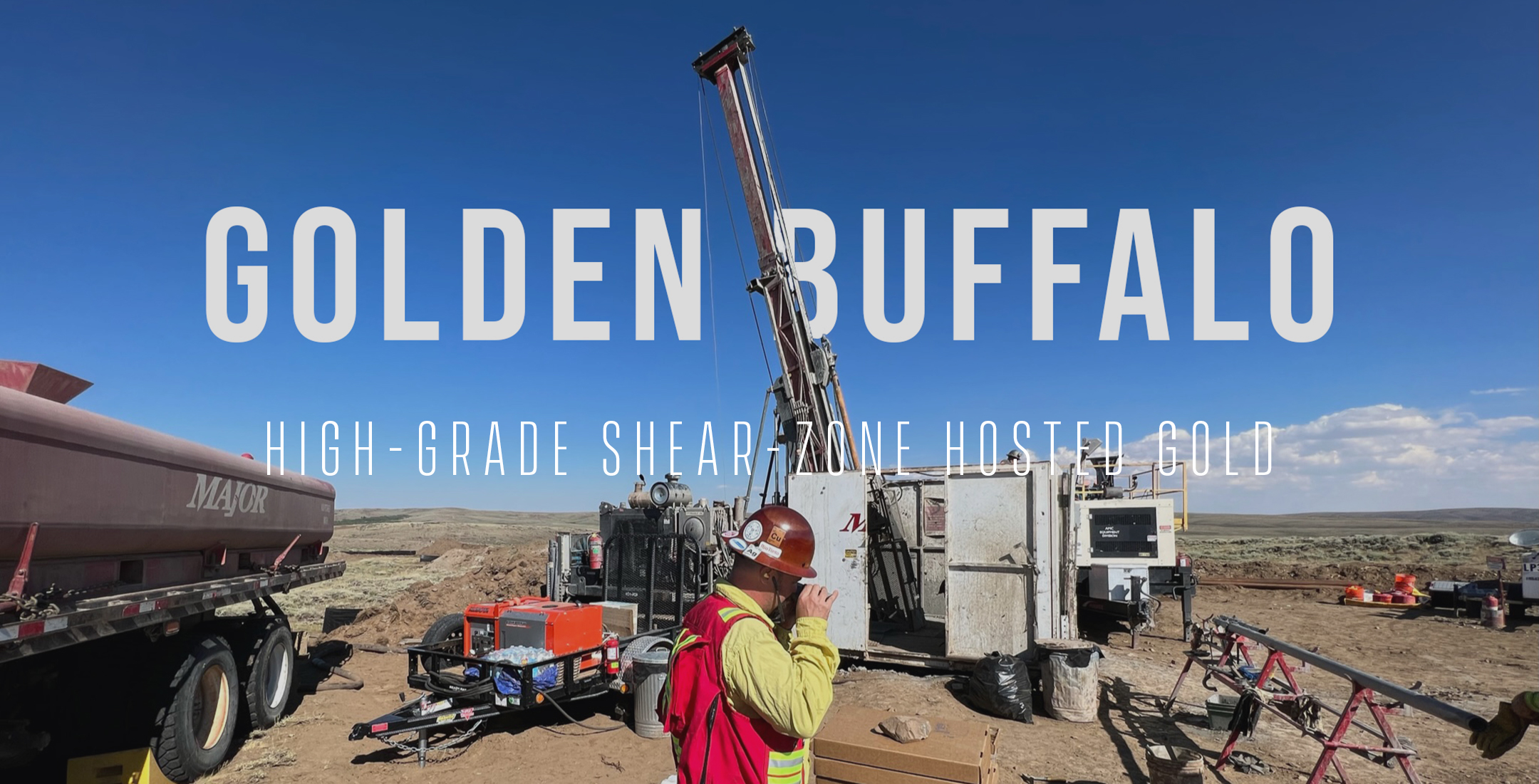
Golden Buffalo at a Glance
The Golden Buffalo Project is located immediately southeast of the Wind River Mountain Range in west-central Wyoming. The project site is located approximately 60 kilometers southeast of Lander, Wyoming in Fremont County. The Golden Buffalo Project comprises a block of unpatented claims on public lands managed by the Bureau of Land Management (BLM), surrounding smaller areas of private lands, state lands, and other unpatented claims.
-
Relevant Gold controls 9,600 acres (3,884 hectares) of contiguous BLM mining claims at Golden Buffalo, including 300 acres (121 hectares) of patented property and >600 acres (242 hectares) of private surface land with water rights.
- Age of Mineralization: 2635-2615 Ma
- Host Lithologies: Greywackes and Mafic-Ultramafic Dikes
- Minerology: Arsenopyrite-Pyrite-Chlorite-Calcite-Tourmaline
- Vector Elements: Au-Ag-As-Bi-Sb-W-Te
- Structure: Shear zones and mesocopic isoclinal folds
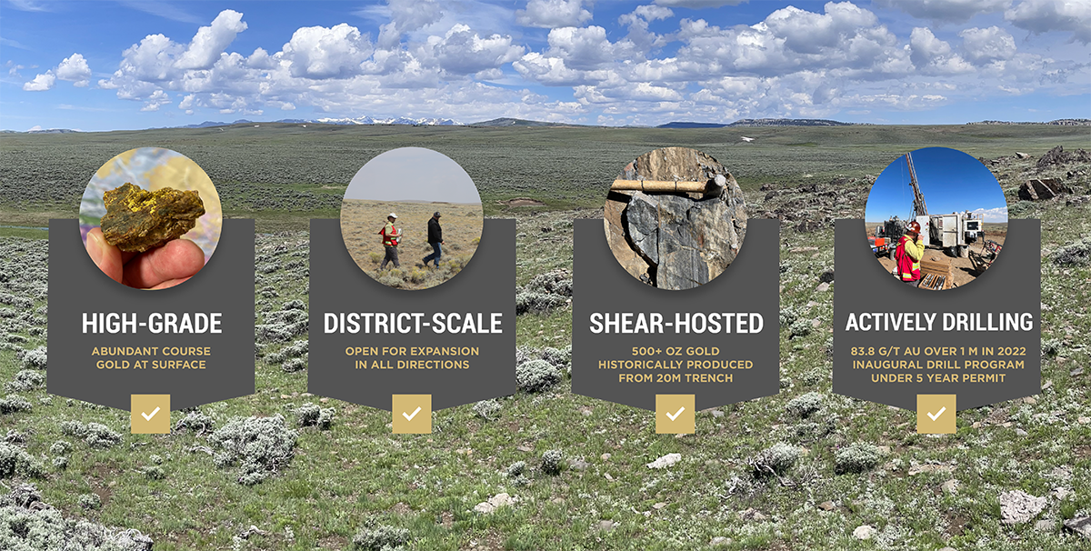
- 500 Oz Au historically produced from a 20 metre trench (by previous operator)
- Drilling (2022 program) produced 83.8 g/t Au over 1 metre with anomalous gold returned in >50% of drill holes; rock chip assays up to 160 g/t Au
- Power, road and infrastructure access
- Expansive opportunity – open in all directions!
- Click here to view the NI43-101 technical report for this project
Exploration and Development Timeline
2023 Exploration Plan
2023 Exploration at Golden Buffalo will include:
- Refining drill targets at Golden Buffalo
- Regional soil surveys across the South Pass portfolio; and
- Mapping and rock chip sampling at Golden Buffalo, as well as at the Company's Bradley Peak, Shield-Carissa, and Windy Flats
projects.
2022 Exploration at Golden Buffalo
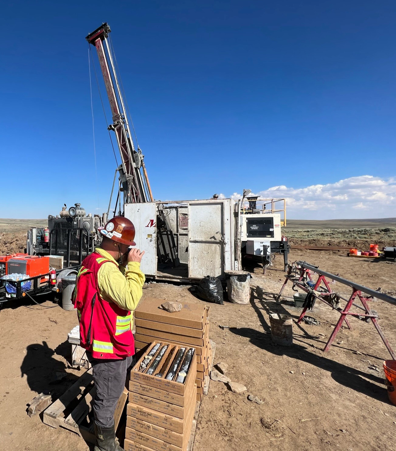
Relevant Gold completed ~3,500 m of exploration drilling at Golden Buffalo in 2022, as well as a regional mapping and sampling program. Highlights from this work include:
LARGE-SCALE OROGENIC SYSTEM CONFIRMED
• 2022 program extended >5km of the primary GBSZ at surface
• Drilling confirmed ~1km of strike length & 300m depth of primary GBSZ
• High-grade gold drilled ~400 m east along strike of GBSZ and 170 m deep; highest-grade intercept was 1m of 83.8 g/t Au
• Drill holes stepping out 400-500m to the North confirmed mineralized shear zones parallel to GBSZ
• 54% of the program's 26 drill holes contained anomalous gold (>0.1 g/t Au)
• Mapping identified numerous geologic features consistent with orogenic shear-hosted gold terranes observed in the Abitibi
ABITIBI-STYLE ALTERATION CONFIRMED
• Golden Buffalo Shear Zone (GBSZ) strike length was extended to approximately 800 m
• Alteration mineralogy includes an Abitibi-style assemblage of biotite, chlorite, actinolite, sericite, tourmaline and silicification
• 4.1 g/t Au rock chip sampled along northern contact of GBSZ
• 2.5 g/t Au rock chip sampled along the southern contact of GBSZ
NEW TARGETS IDENTIFIED
• More than 15 km of new orogenic shear structures identified in the South Pass Gold Camp; numerous targets for follow up
• Potential extensions of GBSZ mapped offset to the SE
PROOF OF CONCEPT ACHIEVED!
• Results from 2022 exploration at Golden Buffalo were consistent with what we would expect to see in a fertile, orogenic gold system and provide initial proof of concept of the Company's Abitibi-connection gold exploration thesis.
NEWS HIGHLIGHTS FROM 2022 EXPLORATION
• Relevant Gold Intersects 83.8 g/t Gold over 1 metre at Golden Buffalo
• Relevant Gold Reports 4.1 g/t Gold in Trench Sampling at Golden Buffalo
• Relevant Gold Announces 13 New Orogenic Shear Structures (15km total) Discovered through 2022 Exploration and Completion of 3500m Drilling Program in the South Pass Gold Field in Central Wyoming
2021 Exploration at Golden Buffalo
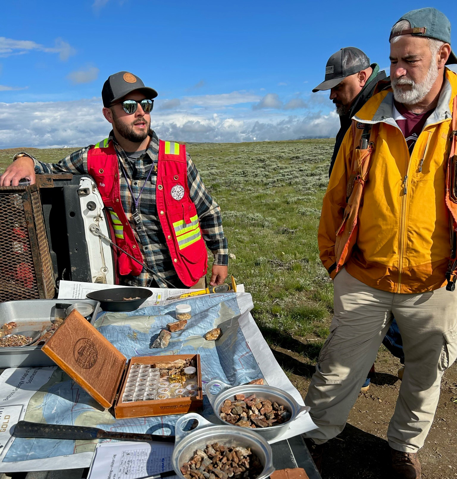
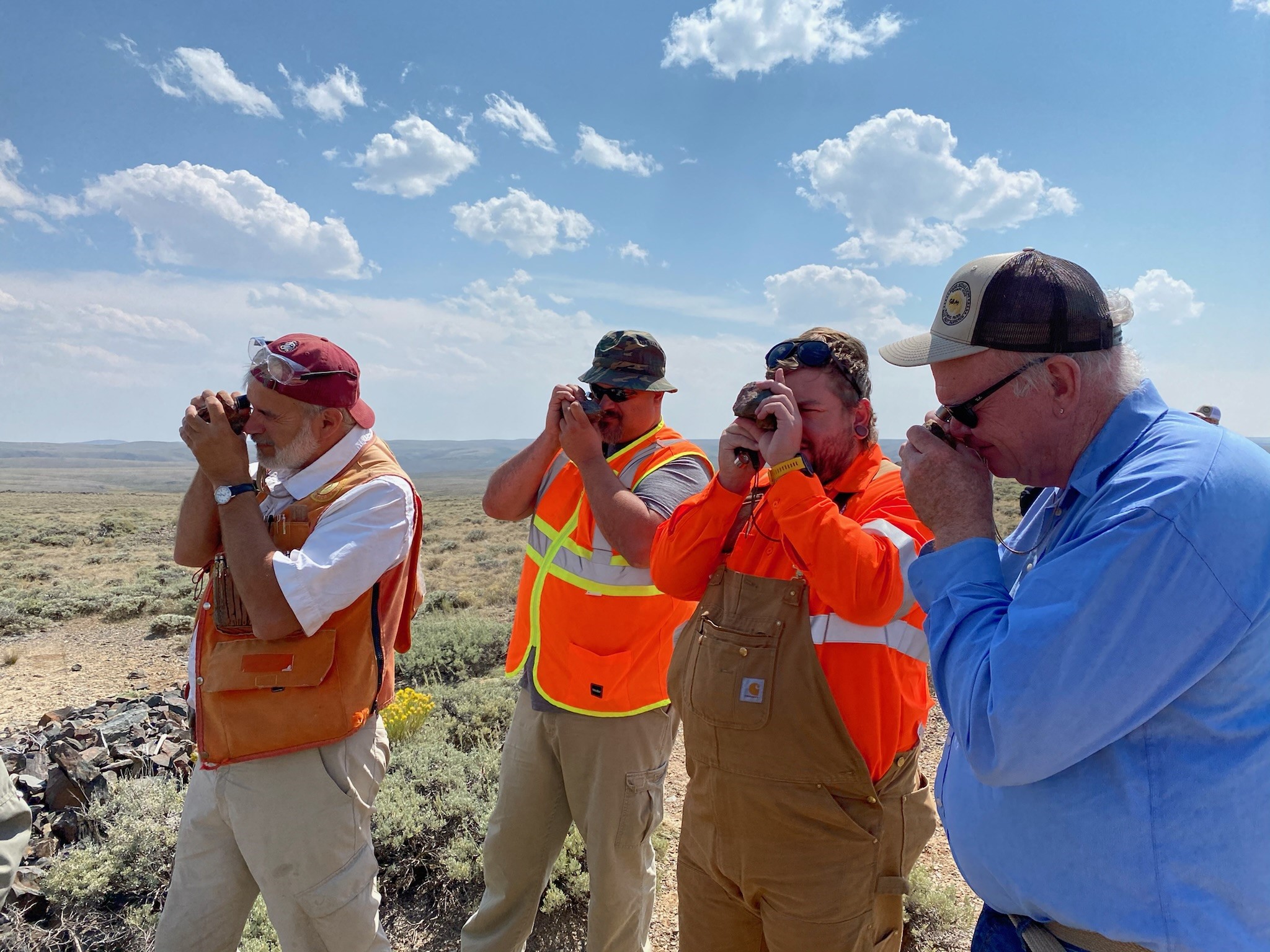
Relevant Gold conducted preliminary field reconnaissance, mapping, and sampling of the Golden Buffalo Project in 2021. The results of this work confirmed high-grade gold assays and visible coarse gold at the surface, associated with mapped shear zones and complex veining.
Golden Buffalo Mining Company has completed small-scale exploration and mining activities since the summer of 2020. They have used an excavator to trench along a shear zone for upwards of 20 m (60 ft) and up to 3.5 m (12 ft) deep (Figure 6-5). The mined material has then been crushed and processed using a gravity separation circuit. This process has shown coarse gold in the shear zone and produced fine gold and gold nuggets (Figure 6-6). Some of these gold nuggets are several centimeters in length. GBMC has reported historical gold production of 600 oz since 2020 (non 43-101 compliant) (GBMC, 2021).
Relevant Gold performed rock chip sampling and completed a small soil geochemistry survey. Rock chip assay values ranged from below the detection limit to 168 ppm Au. The geochemical signatures correlate well with mapped structures. Gold dominantly occurs in quartz veins within mapped shear zones. The highest-grade sample (168 ppm Au) was obtained from an extensional vein located between two parallel shear zones. Most of the rock chip samples show potential pathfinder elements, for example As, that are known to correlate with gold in the South Pass greenstone belt ((Figure 9.2).
425 soil samples were collected and analyzed with an XRF along a grid spaced at 150 m and sampled at 25 m intervals across mapped shear zones. The soil survey shows an east-west trend of arsenic anomalies over 1 km (Figure 9-3). Sampling demonstrated abundant high-grade gold at surface and returned rock chip assays up to 160+ g/t Au.
Geology and Mineralization
There are two historic mining districts in the region: the Lewiston District and the Atlantic City/South Pass district. Both mining districts are in a belt of Archean rocks and saw periodic gold mining activity from the 1860s to the 1940s. Since that time, the districts have seen only limited exploration and artisanal mining. In the Atlantic City/South Pass District, several gold mines were developed, including the most productive, the Carissa Mine. The Carissa Mine produced over 100,000 oz, with historic estimates ranging from 50,000-180,000oz of gold produced (Jamison, 1911; Hausel, 1991). The Lewiston District had smaller historic development but had reported very high gold grades.
Historically, both district’s gold mineralization occurs within shear zones with multigenerational quartz veining, with high-grade free gold associated with oxidized quartz veins (Hausel, 1991). Ongoing work by Relevant Gold includes mapping multiple sets of veins to determine their exact relationship, providing more data regarding both positive and negative mineralization associations. The gold mineralized shear zones commonly contain disseminated arsenopyrite and are bound by pervasive chlorite-albite alteration. Trace element gold mineralization vectors include As-Ag-Sb-Bi-Te and W (Big Rock Exploration, 2020).
The Golden Buffalo Project lies within the South Pass Greenstone Belt (SPGB), a Neoarchean greenstone belt located on the southern flank of the Wind River Range in the Southern Wyoming Province. The geological characteristics of the SPGB are consistent with other world-class orogenic gold systems such as Macraes-Hyde district, New Zealand, Malartic Camp, Ontario and Quebec Canada, and Kalgoorlie Golden Mile, Western Australia.
2022 Exploration Accomplishments |
Status |
| LARGE-SCALE OROGENIC SYSTEM CONFIRMED • 2022 program extended >5km of the primary GBSZ at surface • Drilling confirmed ~1km of strike length & 300m depth of primary GBSZ • High-grade gold drilled ~400 m east along strike of GBSZ and 170 m deep • Drill holes stepping out 400-500m to the North confirmed mineralized shear zones parallel to GBSZ • Mapping identified numerous geologic features consistent with orogenic shear-hosted gold terranes observed in the Abitibi |

|
| ABITIBI-STYLE ALTERATION CONFIRMED • Golden Buffalo Shear Zone (GBSZ) strike length was extended to approximately 800 m • Alteration mineralogy includes an Abitibi-style assemblage of biotite, chlorite, actinolite, sericite, tourmaline and silicification • 54% of holes returned anomalous gold • 4.1 g/t Au rock chip sampled along northern contact of GBSZ • 2.5 g/t Au rock chip sampled along the southern contact of GBSZ |

|
| NEW TARGETS IDENTIFIED • More than 15 km of new orogenic shear structures identified in the South Pass Gold Camp; numerous targets for follow up • Potential extensions of GBSZ mapped offset to the SE |

|
PROOF OF CONCEPT ACHIEVED |

|
Golden Buffalo News

